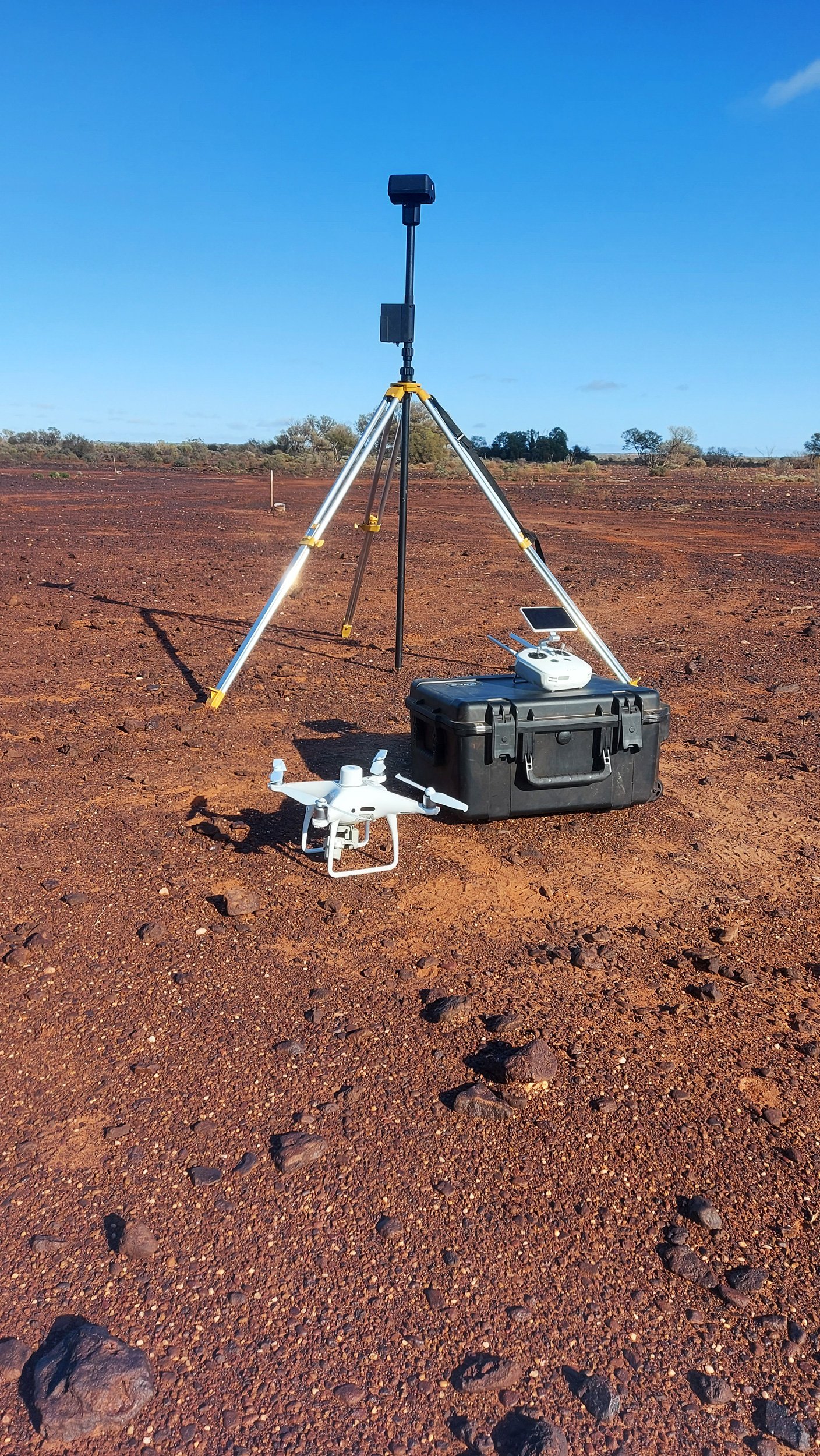
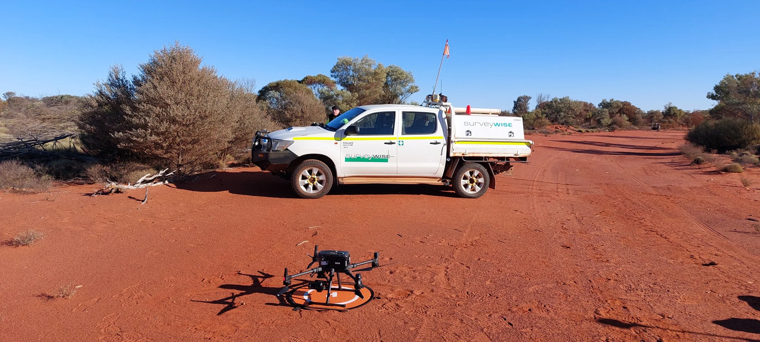
AERIAL MAPPING
SurveyWISE are experts in Aerial Mapping in Perth, Margaret River, and Australia-Wide. Please contact SurveyWISE Land Surveyors for the following Aerial Mapping services:
3D Point Clouds
3D Reality Capture
Ortho rectified Aerial Photographs
Fly through Videos
Terrain Modelling and DTM Mesh
Remote Area access
UAV Survey
RTK drone survey
LiDAR
Water shed analysis
Topographic capture